501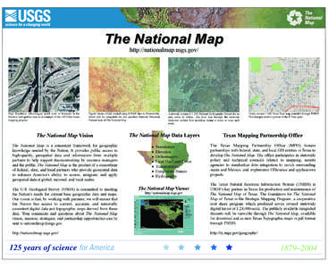 | Add to Reading ListSource URL: tx.usgs.govLanguage: English - Date: 2004-07-27 11:40:10
|
|---|
502 | Add to Reading ListSource URL: nhd.usgs.govLanguage: English - Date: 2013-05-03 16:18:10
|
|---|
503 | Add to Reading ListSource URL: nhd.usgs.govLanguage: English - Date: 2007-10-17 15:33:54
|
|---|
504![National Hydrography Dataset Goals Fiscal Year[removed]Future Vision To drive new discoveries in surface water science. The National Geospatial Program will work increasingly to integrate NHD with high resolution National Hydrography Dataset Goals Fiscal Year[removed]Future Vision To drive new discoveries in surface water science. The National Geospatial Program will work increasingly to integrate NHD with high resolution](https://www.pdfsearch.io/img/de95668063a552b1145036ac343c57fe.jpg) | Add to Reading ListSource URL: nhd.usgs.govLanguage: English - Date: 2013-05-03 16:18:05
|
|---|
505![Hydrography Product Information Document Name Hydrography Vision[removed]Audience for Hydrography Product Information Document Name Hydrography Vision[removed]Audience for](https://www.pdfsearch.io/img/6ab35d4ff0a098f8b2bdb1a1df8957d2.jpg) | Add to Reading ListSource URL: nhd.usgs.govLanguage: English - Date: 2013-09-25 15:35:41
|
|---|
506 | Add to Reading ListSource URL: www.crwr.utexas.eduLanguage: English - Date: 2001-06-29 20:25:18
|
|---|
507 | Add to Reading ListSource URL: www.epa.govLanguage: English - Date: 2002-05-31 17:31:49
|
|---|